Pralle Talks to High Country News About Floodplain Mapping, Flood Insurance
September 19, 2022
High Country News
Flood are the most common and destructive natural hazard in the country with FEMA predicting that, due to climate change, the area at risk of a 100-year flood from rivers in the U.S. will grow by approximately 45% by 2100.
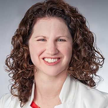
Sarah Pralle, associate professor of political science, studies the politics for how floodplain maps get drawn. She says that when the National Flood Insurance Program began in 1968, it was meant to discourage people from living in flood-prone areas by making it pricier to live there, as well as to help them recover when floods do occur by providing insurance for at-risk properties. The backbone of the program, she says, is accurate, scientific mapping.
Pralle says the politicization of floodplain mapping is common. And when flood maps are challenged, it’s nearly always in the direction of making the floodplain smaller, not bigger. “It’s kind of human nature not to want to pay for something if you think you aren't going to need it,” says Pralle.
Read more in the High Country News article, "Rising rivers don’t necessarily follow the lines on a map."
Related News
Commentary

Dec 3, 2025
Commentary

Dec 2, 2025


